 |
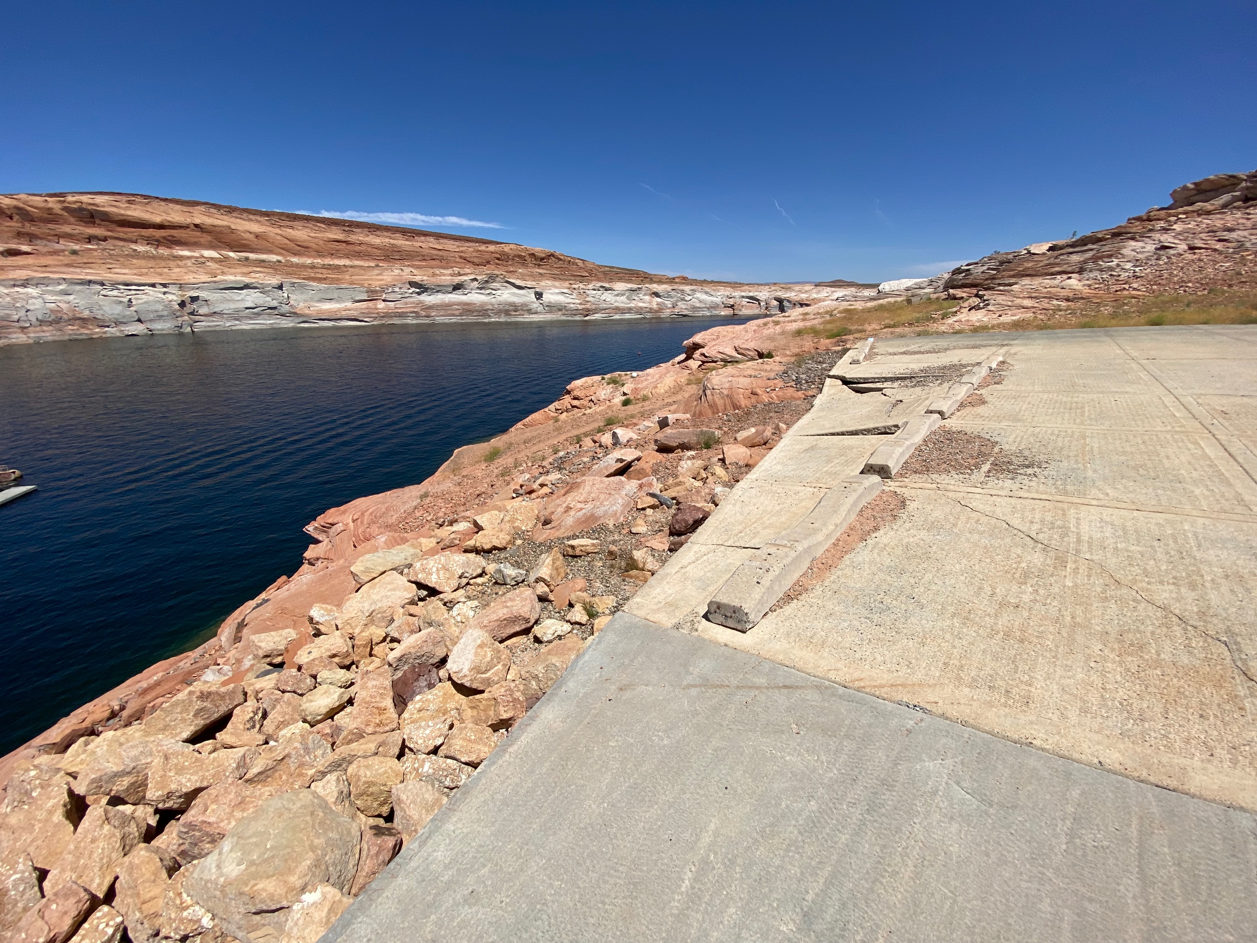
| Boat Launch ramp at Lake Powel |


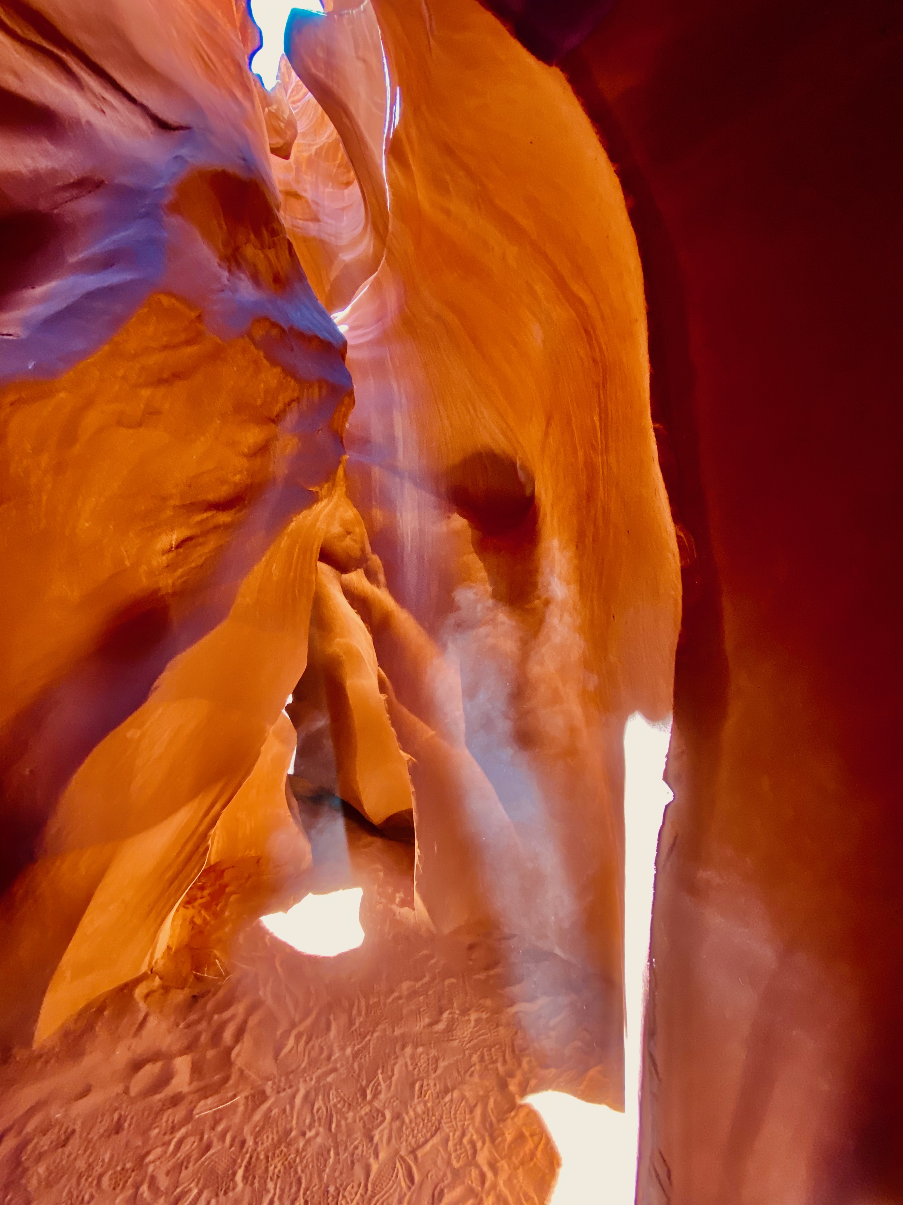

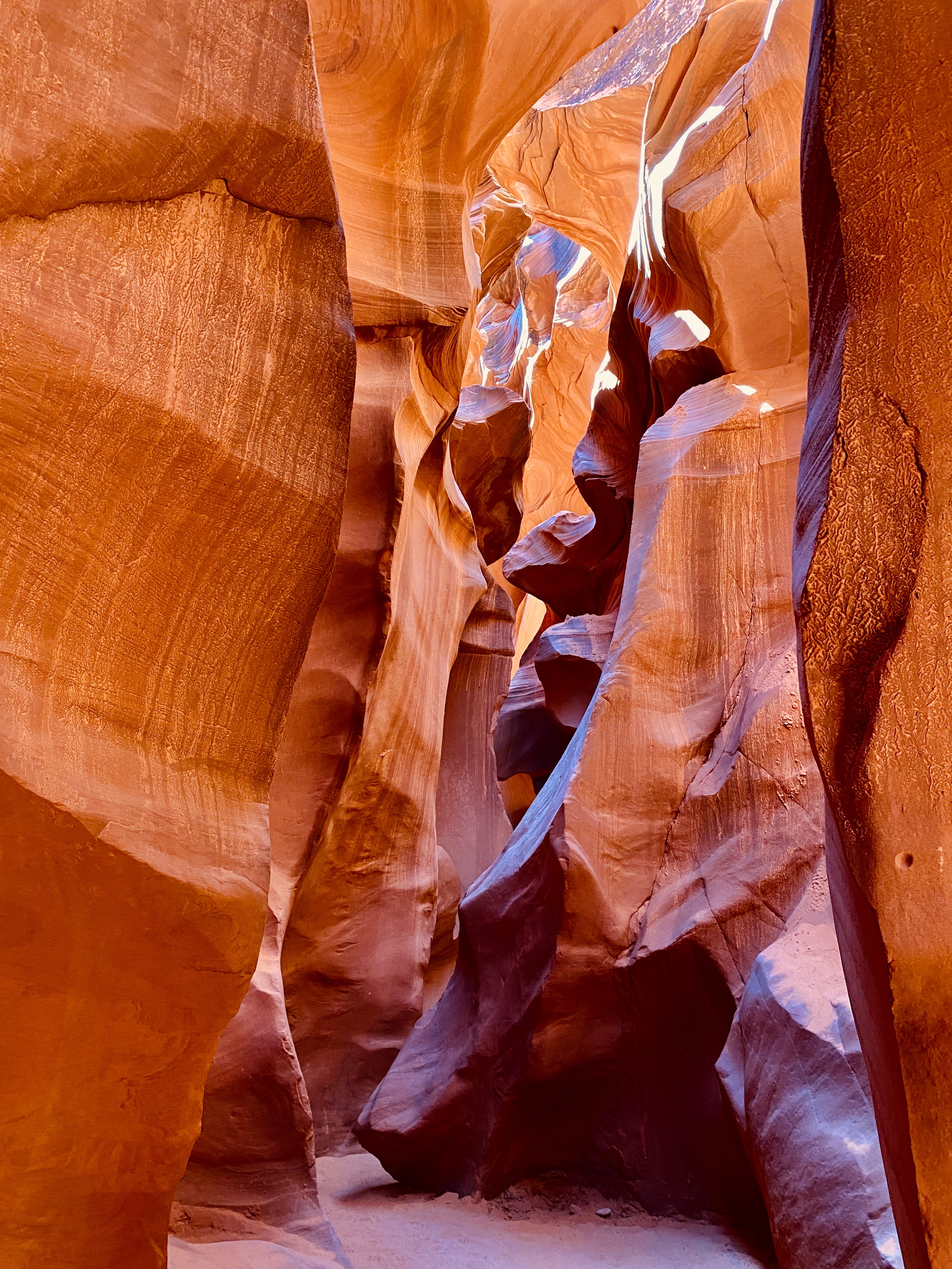


We had an 11:15 tour time set up with Dixie’s Lower Antelope Canyon Tours ($55 per person plus fees) but were not sure what the time was where we are parked. So, after calling the tour operator, who is only 2 miles down the road, and talking with the NPS ranger, we found out that although we are in the Navajo Reservation, the RV Park is on Phoenix time and not Mountain Daylight Time. Can they make it any more confusing? We arrived for our tour an hour early and were able to get moved to an earlier tour group. That was very beneficial since the lighting in the canyon is better in the mid morning verses closer to noon. Our tour guide was Olando. He did a fabulous job keeping everyone together, helping everyone adjust their phone cameras for the best color and talking picture for the 10 people in the tour. When they used to do Photographer Tours he was one of the tour guides leading professional and amateur photographers and helping them with their camera settings. One cannot put into words how beautiful the canyon is. You could spend hours looking if they would let you. As it was, we were shuffled through at a reasonable rate considering how many people they funnel through the canyon in a day. We took hundreds of pictures! The lighting and variation in color and shadows was mesmerizing. Every direction you turned was a beautiful picture. Trying to pick just a few to put here is going to be hard. Leslie’s ankle held up pretty well. She was so captivated by the canyon, she didn’t notice it hurting too much. If it didn’t cost so much, we would go back again and again!
After the tour, we ran into Page to get lunch at Big John’s BBQ. It was delicious. On the way back, we drove down to the boat ramp to see how low Lake Powel was at this time since we hoped to go kayaking. We drove all the way to the bottom of the long steep boat ramp, and parked to look over the edge. The lake was a good 20 feet lower than the end of the boat ramp! There is a steep rocky trail around the side of the boat ramp down to a tiny beach at the waters edge if you wanted to drag you kayaks down and then back up. So much for our hopes of kayaking while we are here unless there is a massive flood of snow melt out of Colorado in the next week. The lake level also has caused the ferries to Rainbow Bridge NM to be canceled since they can’t get into the boat docks (up on dry land).


The drive from Monument Valley to Page is only 128 miles. The roads are not the smoothest, but we were not in a rush. After arriving at Antelope Point RV Park ($80 per night, no discounts) near the Marina in Glen Canyon National Recreation Area. This is a beautiful new RV Park with nice concrete pads, paved roads, and artificial turf for spacious yards. Its only 10 minutes to Page and five minutes to upper and lower Antelope Canyon. After getting the Wanderer set up, we drove into town to get Leslie’s ankle looked at since this is the first place where we could get access to a Doc-in-a box. After a brief check, the doc declared it “just a sprain” and gave Leslie a stiffer ankle brace and told her to keep working it. At least it was good to know there is nothing fractured. Then we did some grocery shopping (after two weeks in the boonies, supplies were getting low) and had a nice early dinner. The time zone thing is messing with our heads. Arizona does not observe daylight savings time unless you are on the Navajo Reservation, which does observe it. So, in the brief drive from the RV park which is on Reservation Land, to Page, we lose an hour. So instead of being a 5 o’clock dinner, it was a 4 o’clock dinner. We need to be careful to make sure we don’t miss a tour because of the time zone changing.
 |
| Entrance Sign |
 |
| Our site in Antelope Point RV Park |
After giving Leslie’s ankle, and David’s still aching back a couple of restful days to heal, we decided to go back into the valley to see the stops that our tour had missed. After paying another $8 per person entry fee for the tribal park, we stopped at the visitor center to go through the shop and pick up some post cards and enjoy the view from the patio (One of the best views in the park). The public road through the valley is a combination of dirt, sand and gravel. The first decent to the valley floor is a little steep and rocky making it rough in spots. But nothing challenging for the Behemoth. The total loop is only 13 miles. We took our time, stopping at the various overlooks and enjoying a beautiful afternoon. We climbed out of the valley just before they closed the entry gate for the road. The speed limit on the road is only 15MPH to keep the dust down and get people to slow down for some of the more rough terrain. But we constantly had people tailgating us, sucking up all the dust the Behemoth churned up on the dirt road. People seemed to be in a rush and were willing to risk damage to their cars by going too fast.
 |
| Horse rider on Fords Point |
 |
| Wild Horses in the Park |
 |
| The thumb |
 |
| North Valley from the North Window. |
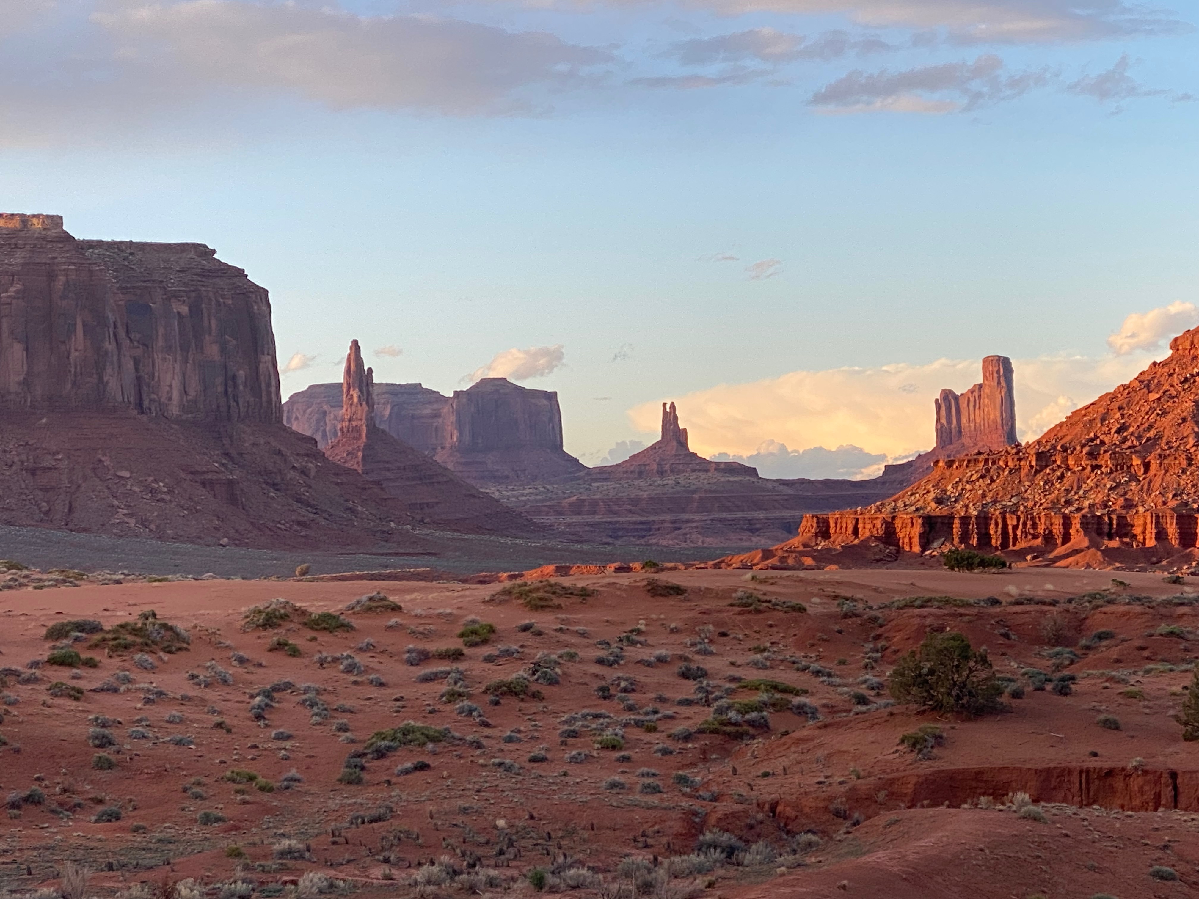
We booked the extended sunset tour with Monument Valley Tribal Tours. Our guide Frank, born and raised nearby, picked us up at the KOA at 4:15 and drove over to the View Lodge in the tribal park to pick up the rest of the tour group. We stopped at the front gate for Leslie and I to pay the $8 per person entrance fee to the tribal park. The tour vehicle was an old Chevy four-wheel drive pickup truck with open air covered padded bench seats in the bed. The weather was perfect for our tour. Clear blue skies with a scattering of puffy clouds, mild temperatures. There were 6 other folks, all from outside the country, that joined us. Frank drove us down into the valley, stopping at various points to point out the name of the various buttes and give some history of the area. After Fords Point, where John Ford set up his filming equipment for filming various John Wayne movies, we left the public road to head into the back country where only the native tour guides are allowed to go. David had driven the public road back in the 90s and had noticed the turn offs where only the guided tours are allowed to go, which is why we wanted to take a tour this time around. Frank took us to several arches, buttes, rock formations and Petroglyphs (by Eyelash Arch). These petroglyphs were some of the nicest we had seen. He managed to get stuck a couple of times in the deep sand but was able to get us unstuck with four-wheel drive. At Big Hogan Arch, Frank broke out his flute and played a haunting melody with the echoes from the canyon walls making it magical. Toward the end of our tour we popped back out on the public road, but it was getting late so Frank blew past several stops to get us back to the visitor center intime to catch the beautiful colors from the setting sun on the buttes, including the East and West Mittens. The timing was perfect. The Mittens were glowing orange with the light from the setting sun. By now the temperatures had dropped so the wind chill driving back to the KOA caused us to put on our jackets and hunker down for the short drive.
 |
| East and West Mittens |
 |
| North Valley |
 |
| Valley from Fords Point |

 |
| The Hand |
 |
| Eyelash Arch |

 |
| Ear of the Wind Arch |

 |
| The Totam Pole |

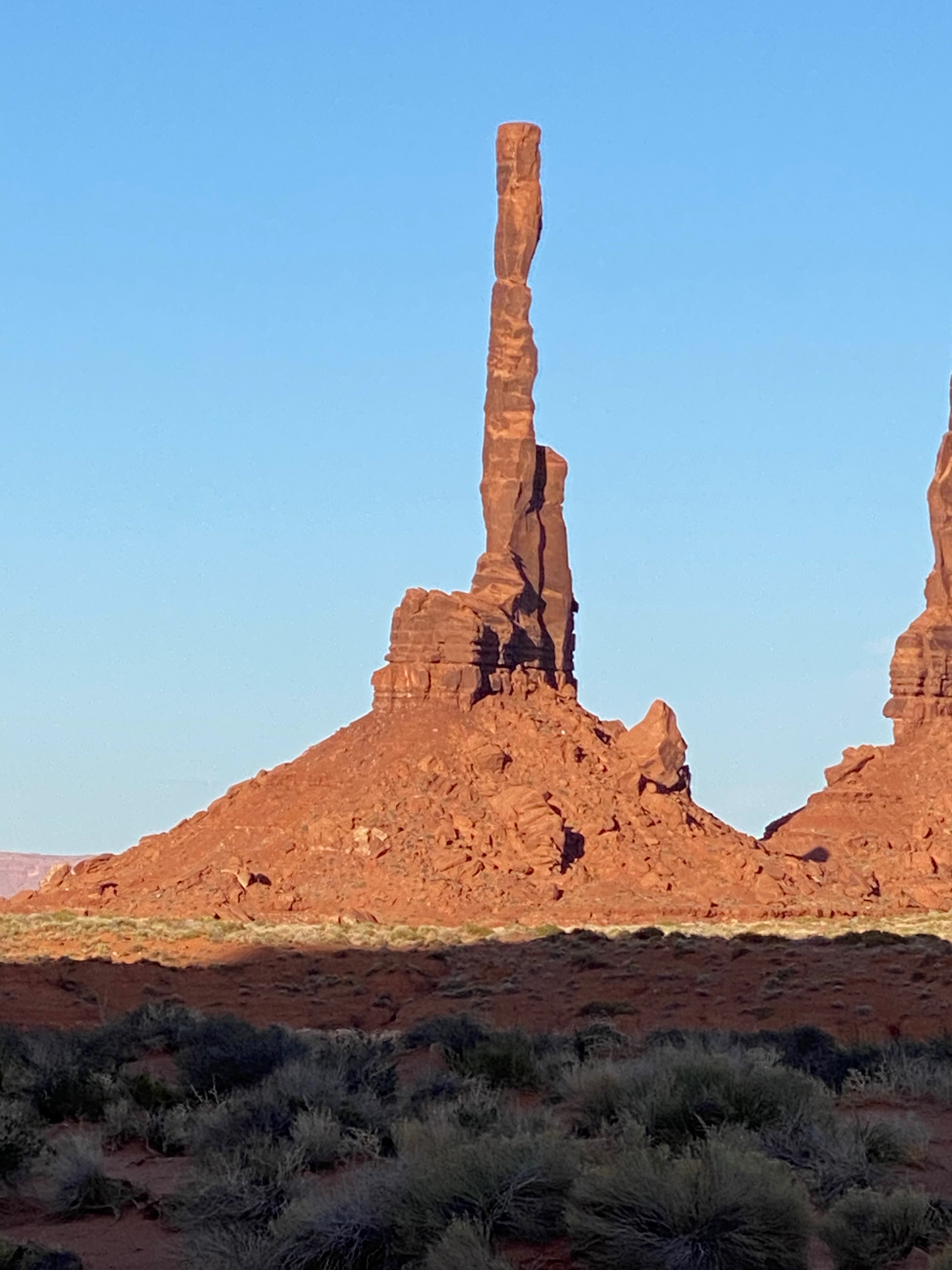 |
| The Total Pole |


 |
| North Valley at Sunset |
 |
| The West and East Mittens at Sunset |
 |
| West Mitten |
 |
| Big Hogan |
 |
| Moccasin Arch |
We headed to Navajo NM in the late morning. Our research had shown that there was only one short trail to a cliff edge cliff dwellings overlook that was open in the NM. There was a guided ranger tour at 7Am in the morning to those same ruins, but with Leslie’s ankle questionable, we really did not consider it. It was only a one hour scenic drive to the NM. Once there, we got our passport stamp, picked up some postcards, explored the visitor center exhibits and watched the park film. There are three sets of cliff dwellings in the NM. Two of the ruins require an overnight hike which the NPS is currently not issuing passes for. They are working on a new management plan for the park which will decided if they ever allow the public to those remote ruins without an escort. We walked the fairly easy 1.3 mile Sandal Trail to the overlook for the Betatakin Cliff Dwelling ruins. Leslie’s ankle did well on the hike down, but it was really hurting on hike back up.
 |
| Sunset from the KOA |
 |
| Entrance Sign |
 |
| Betatakin Cliff Dwelling ruins |
